|
Weather
Report & Forecast
(Indicating regional changes)
November 27, 2008
Weather
forecast valid for next 3 days
Morning's cyclonic storm Nisha over coastal Tamil
Nadu and Puducherry now lay centred at 0830 hours
IST over coastal Tamil Nadu and Puducherry about 50
km northwest of Karaikal. The system is likely to
move in a northwesterly direction and weaken gradually.
Under its influence, rainfall at most places with
heavy to very heavy falls at a few places and isolated
extremely heavy falls (25 cm) is likely over north
Tamil Nadu and Puducherry during the next 24 hours.
Rainfall at many places with isolated heavy to very
heavy falls is also likely over south Tamil Nadu,
Kerala, south interior Karnataka, south coastal Andhra
Pradesh, Rayalseema and Lakshadweep during the period.
The minimum temperatures are above normal by 3-4 deg
C over northwest Rajasthan and adjoining northwest
Madhya Pradesh and 2-3 deg C above normal over south
Andhra Pradesh, south interior Karnataka and Gujarat.
Current meteorological analysis and Numerical Model
Prediction suggests this scenario likely to continue
during the next 2-3 days.
WARNING:
Heavy to very heavy rainfalls at a few places and
isolated extremely heavy falls ( 25 cm) is likely
over north Tamil Nadu and Puducherry during the next
24 hrs. Isolated heavy to very heavy rainfall is also
likely over Kerala, south Tamil Nadu, south Karnataka,
south Andhra Pradesh and Lakshadweep during the period.
Gale winds speed reaching 60-70 kmph gusting to 80
kmph are likely along and off Tamil Nadu and
Puducherry coasts during the next 12 hours. Sea condition
is high along and off these coasts. Squally wind speed
reaching 45-55 kmph gusting to 65 kmph is also likely
over interior districts of Tamil Nadu during the period.
OUTLOOK
(Nov
30-Dec 2):
Scattered to fairly widespread rainfall activity is
likely over south peninsula.
| Station |
Weather
Report
(Past 24 Hours)
|
Rainfall
(24 hrs) (mm)
|
Weather
Forecast
(Next 24 Hours) |
Max
Temp
(Deg C) |
Min
Temp
(Deg C)
|
|
Bangalore
|
22.0
(-5)
|
17.9 (0)
|
0.0 |
Cloudy,
rain likely |
|
Chennai
(Madras)
|
26.7
(-2)
|
23.3
(+1)
|
137.7 |
Occasional
rain |
|
Dehradun
|
24.7
(0)
|
9.5
(-1)
|
0.0 |
Clear sky, rain likely |
|
Delhi
(New Delhi)
|
29.0
(+3)
|
10.0
(-1)
|
0.0 |
Clear
sky, morning mist |
|
Goa
|
35.4
(+3)
|
19.8
(-2)
|
0.0 |
Partly
cloudy |
|
Kolkata
(Calcutta)
|
20.1
(+1)
|
17.4
(0)
|
0.0 |
Clear
sky |
|
Mumbai
(Bombay)
|
34.0
(+1)
|
14.7
(-4)
|
0.0 |
Partly
cloudy |
|
Shimla
|
18.4 (+4)
|
9.0
(+3)
|
0.0 |
Clear
sky |
|
Srinagar
|
12.4
(0)
|
-1.6
(-1)
|
0.0 |
Clear
sky
|
|
Thiruvananthapuram
(Trivandrum)
|
29.6
(0)
|
23.0
(0)
|
30.6 |
Cloudy,
rain
|
(Note:
In hill stations like Mussorie in the northern Himalayas
and Munnar in southern India, temperature is considerably
low round the year - Go to Travel Sites from Home
Page )
All-India
Weather Reports (More centres)
Current
Weather Observations (All centres)
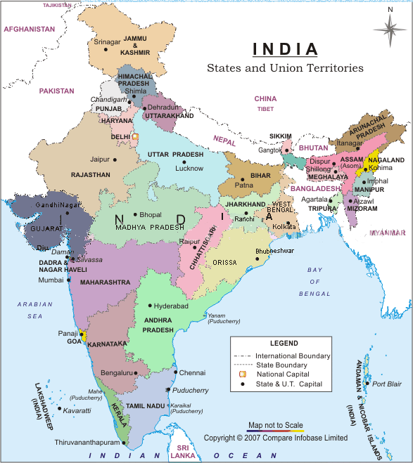
Map
of India
Previous
File
Current
File
|

